Why You Should Review Cadastral Maps Before Purchasing Land
Introduction Cadastral Maps Before Purchasing Land
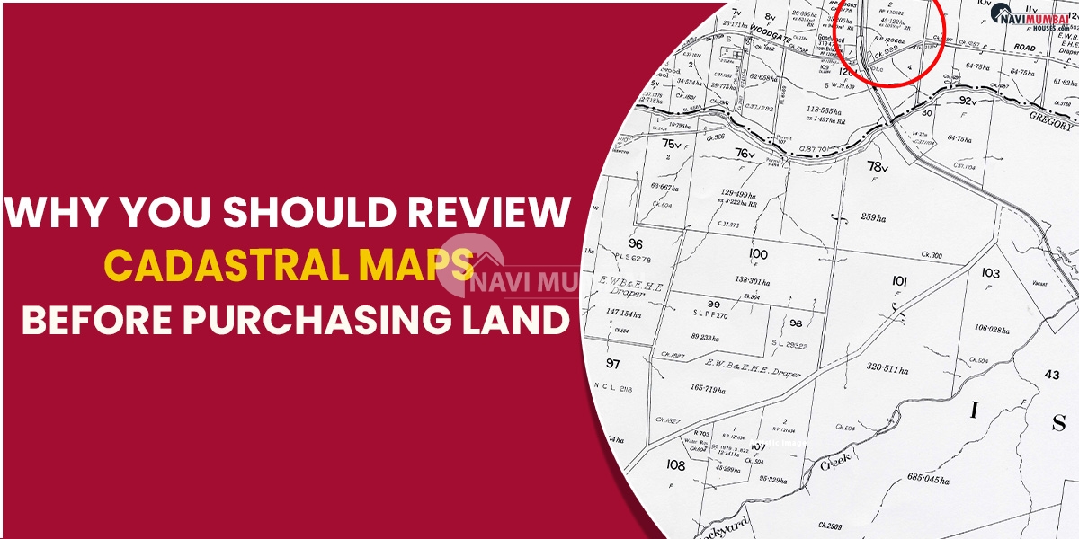
cadastral maps before purchasing land a cadastral map shows a property’s exact location in great detail. These maps, also known as Bhu Naksha or area maps, provide details on property lines, tract sizes, and subdivision lengths. Cadastral maps are typically kept by the government and made available to the public on the websites of the relevant State governments.
The cadastral map is a detailed map that shows the boundaries and subdivisions of land. These maps are use to keep track of who owns what land. This article shows how cadastral maps have facilitated the purchasing and selling of real estate.
Are you looking for rental flats in Bhiwandi ?
Describe Cadastral Maps
Property boundaries on both private and public land can be survey and record with the aid of cadastral mapping. To identify legal property lines, a Geographic information system (GIS) is use. These maps show information about land ownership, tax assessments, sizes, and topographic features. This information aids in the efficient management of land resources and the proper oversight of land use.
Accurate records of legal land rights depend on cadastral mapping. It aids in tasks including determining ownership, funding land, and policymaking. Additionally, it facilitates the transfer of development rights, the readjustment of land, and the collection of property taxes.
Information Specified On A Cadastral Map
Survey Results
As an identification number, each piece of land is give a special survey number.
Village/ Town Name
The name of the town or hamlet where the land parcel is situate is list on the cadastral map.
Number For Khata
For the purpose of property taxation and assessment, land parcels are further classified into khata numbers in several states.
Ownership Of Land
Information about the registered titleholders or the actual legal owners of the land.
Use & Classification Of Land
The land’s intended use, including any designated agricultural, residential, commercial, industrial, or other uses
Dimensions & Boundaries
Each land lot must have its boundaries and dimensions clearly marked.
Encumbrances
Any constraints, rights of way, or encumbrances impacting the land, including utility lines or access rights.
Cadastral Maps’ Advantages
The following are a few of the main advantages of using cadastral maps in real estate transactions:
- Cadastral maps provide clear proof of land ownership, which is helpful to potential homebuyers and investors. It confirms the veracity of the seller’s assertion.
- Purchasers can determine the precise parameters and make sure they get what they paid for.
- Cadastral mapping gives details on zoning regulations, building laws, and other legal factors that could influence the use of the land.
- Governmental entities acknowledge and maintain cadastral maps, making them an official and trustworthy source of land information. This increases the legitimacy and confidence of land transactions.
Conclusion
cadastral mapping is a crucial instrument in real estate sales and purchases. Cadastral mapping reduces the risks and ambiguities involved in land transactions by offering a trustworthy source of information and permitting easy and legal title transfers.
Navi Mumbai Houses a Real Estate source is the most trusted names in the market believes that master pieces can only be achieve by the client’s satisfaction. So that you can give your quality time with your loved ones is actually worth enough. Do you want Sale house Flats in thane our portal is help you to find a buy flat to your price so please visit n find.
You’re looking for rental flats in Bhiwandi we have best unfurnished/fully furnished/ semi furnished renal flats in Bhiwandi

Mumbai Metro Line 12 Purchase Land For Depot & Car Shed